Drone services: aerial solutions for your business

Drone technology is widely used nowadays to help industries gather environmental data, monitor assets, and gain valuable insights. Drone services provide a faster, safer, and more efficient way to survey land, inspect infrastructure, and transform operations.

What is a UAV and how can they benefit your business?

Drone services encompass a wide range of applications that utilize unmanned aerial vehicles (UAVs) to capture high-quality imagery, collect data, and perform tasks that were once costly, time-consuming, or downright dangerous. These aerial vehicles equipped with advanced cameras and sensors, have become indispensable tools across various industries, offering a distinctive perspective from ground-based data capture.

The benefits of incorporating drone services into your business operations are numerous. Drones can significantly reduce the time and manpower required for tasks like site surveys, inspections, and mapping. This translates to substantial cost savings and increased productivity. Moreover, the data collected by drones is often more accurate and comprehensive than traditional methods, allowing for better-informed decision-making and strategic planning.

What is a UAV and how can they benefit your business?

How do UAVs enhance data collection and analysis?

Drone services have revolutionized the way we collect and analyze data, offering a level of detail that was previously unimaginable. Drones can capture high-resolution images and videos, collect atmospheric data and even utilize thermal imaging to provide insights that are simply not possible from the ground.

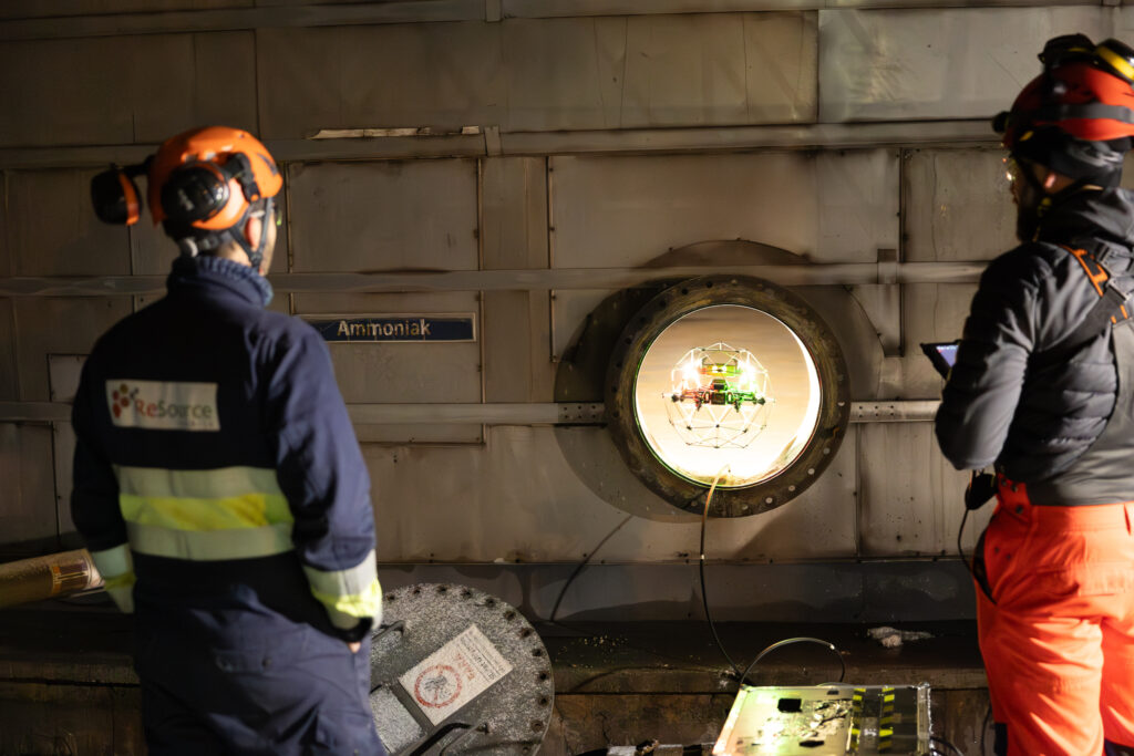
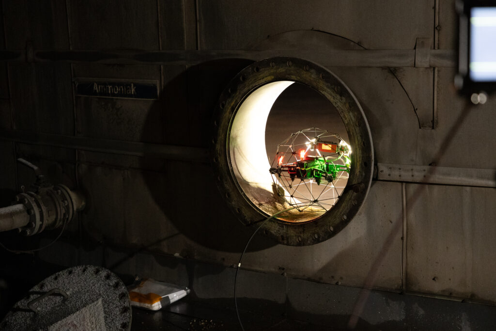
One of the most significant advantages of drone-based data collection is the ability to access hard-to-reach or hazardous areas safely. For instance, inspecting a tall building or a wind turbine used to be a risky and time-consuming process. Now, a drone can fly around the structure, capturing detailed imagery from every angle in a matter of minutes. This enhances safety and enables more frequent inspections to catch potential issues early.

What industries can benefit most from drone technology?

While the applications of drone technology are vast and growing, certain industries stand to gain significant advantages from incorporating these aerial vehicles into their day-to-day operations. Sectors where drones are making a significant impact:

  • Construction and mining
  • Environmental monitoring
  • Fossil energy and renewables
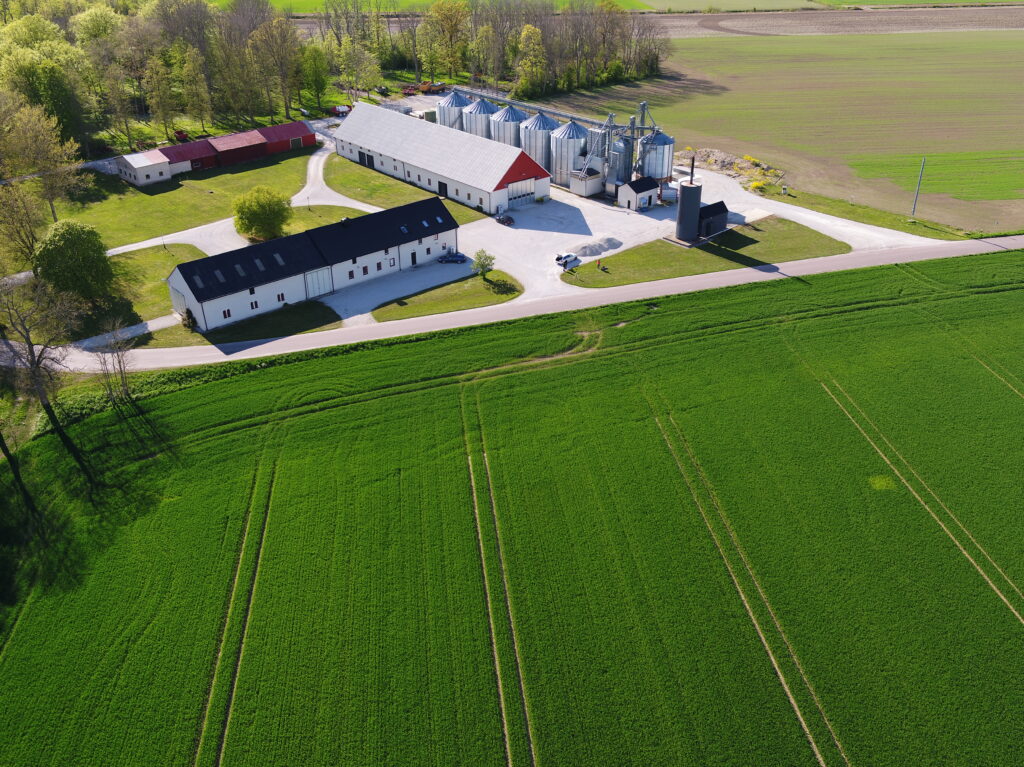
  • Agriculture and forestry
  • Real estate

The versatility of a UAV means that virtually any industry that requires aerial data or visual insights can benefit from these services. From filmmaking to forestry, the sky's the limit when it comes to drone applications.

Choosing our professional drone services

In a market buzzing with drone service providers, it’s about the skill and experience to identify exactly where drone technology can add value to your project. ReSource is not just drone operators; we're problem solvers, data analysts, and innovation enthusiasts.

Our team has a track record of successful projects across various industries, from mapping vast agricultural lands to inspecting complex industrial facilities. When you choose us, you're not just getting a drone service; you're gaining a partner dedicated to delivering insights that drive your business forward.

What sets our drone pilots apart from the competition?

At the heart of our drone services are our pilots. Our team is made of certified professionals with backgrounds in flight engineering, photography, GIS and environmental data analysis. This unique blend of skills allows them to not only capture stunning imagery but also to understand the context and importance of the data they're collecting.

Each of our pilots is EASA-licensed (Open Category Subcategories A1, A2 and A3 and Specific Category) and undergoes rigorous internal training that goes beyond the basics of drone operation. When faced with challenging conditions or unexpected obstacles, our pilots think on their feet, finding creative solutions to ensure the mission's success. It's this combination of technical proficiency and adaptability that makes our drone pilots some of the best in the business.

How do we ensure safety and compliance in our operations?

Safety it's the foundation upon which we build all our drone operations. In the world of aerial services, where the stakes are high and the regulations are complex, we ensure that every flight is conducted with the utmost care and in full compliance with all relevant laws and industry standards.

We are in possession of a EASA drone operator license in line with Regulations (EU) 2019/947 and 2019/945, as well as a worldwide liability insurance cover fully compliant with Regulation (EC) No 785/2004. We follow a comprehensive Operational Manual with pre-flight checklists that cover everything from equipment inspections to weather assessments. This meticulous approach helps us identify and mitigate potential risks before they become issues. Additionally, we maintain open lines of communication with local authorities and air traffic control, ensuring that our permits are always updated and approved.

Document type

Link

Operator ID

Operator ID - preview

Operational Authorisation

Operational Authorisation within Specific Category

Insurance Coverage

Evidence of cover

Even when conducting operations outside the EU, we ensure that our services always meet or exceed legal requirements. An established network of partners worldwide enables us to obtain necessary permits, respecting no-fly zones, and adhering to data and privacy laws. Our clients can rest easy knowing that when they work with us, they're partnering with a company that takes its legal and ethical responsibilities seriously.

Drone-based services we offer

We can offer a comprehensive suite of drone services tailored to meet the diverse needs of our clients. Each service is designed to provide unique insights and solutions to complex business challenges. Whether you're looking to capture breathtaking aerial footage or conduct precise land surveys, we've got you covered.

Here is an array of drone services we offer, each one a powerful tool in our arsenal of aerial solutions:

  • Mapping and surveying
  • Thermal imaging inspections
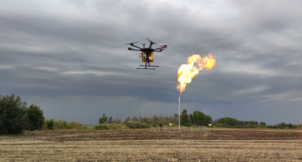
  • Environmental emissions monitoring
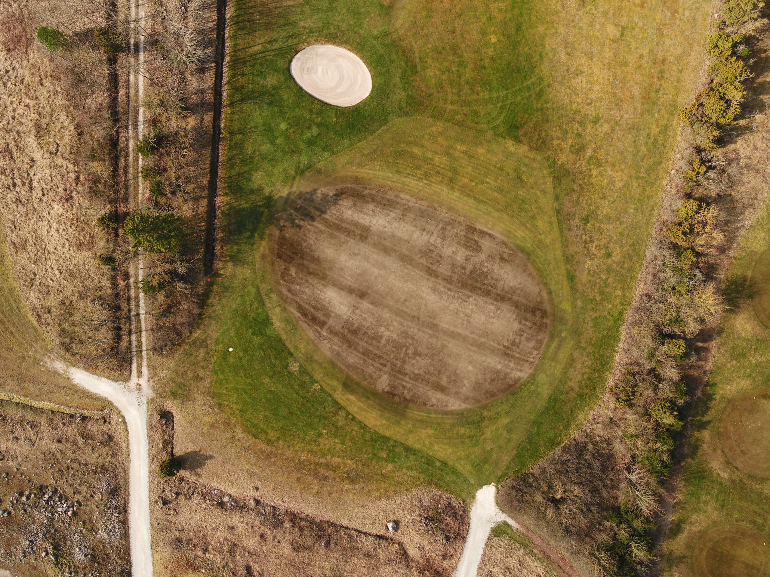
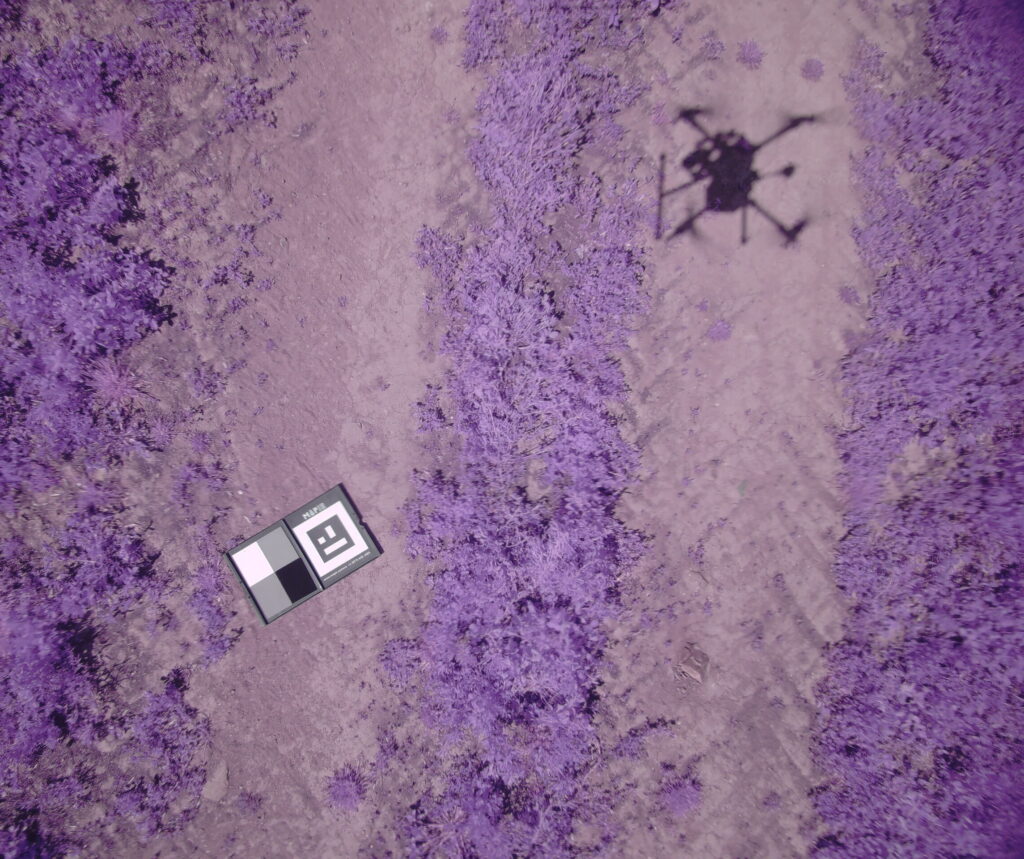
  • Agricultural crop analysis
  • Infrastructure inspection
  • Real estate photography

How can aerial photography and videos elevate your project?

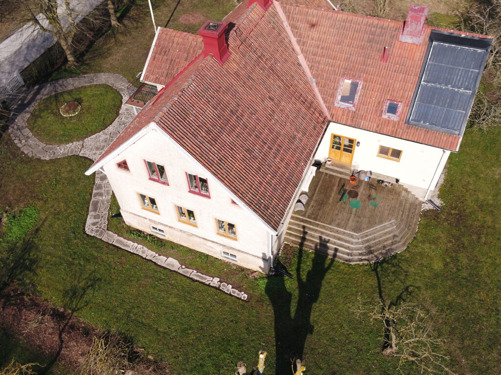
Instead of relying on ground-level shots, as a real estate agent, you can present potential buyers with a stunning aerial video that soars over the landscape, revealing the property's full potential. Aerial photography and videography it's about telling a compelling visual story that ground-based cameras simply can't match. Through our drones we provide aerial photos and videos for project planning, marketing, and documentation. For instance, in the construction and mining industry, regular aerial footage can track progress over time, helping project managers and supervisors identify potential issues early and keep stakeholders informed.

Advantages of drone-based mapping and surveying

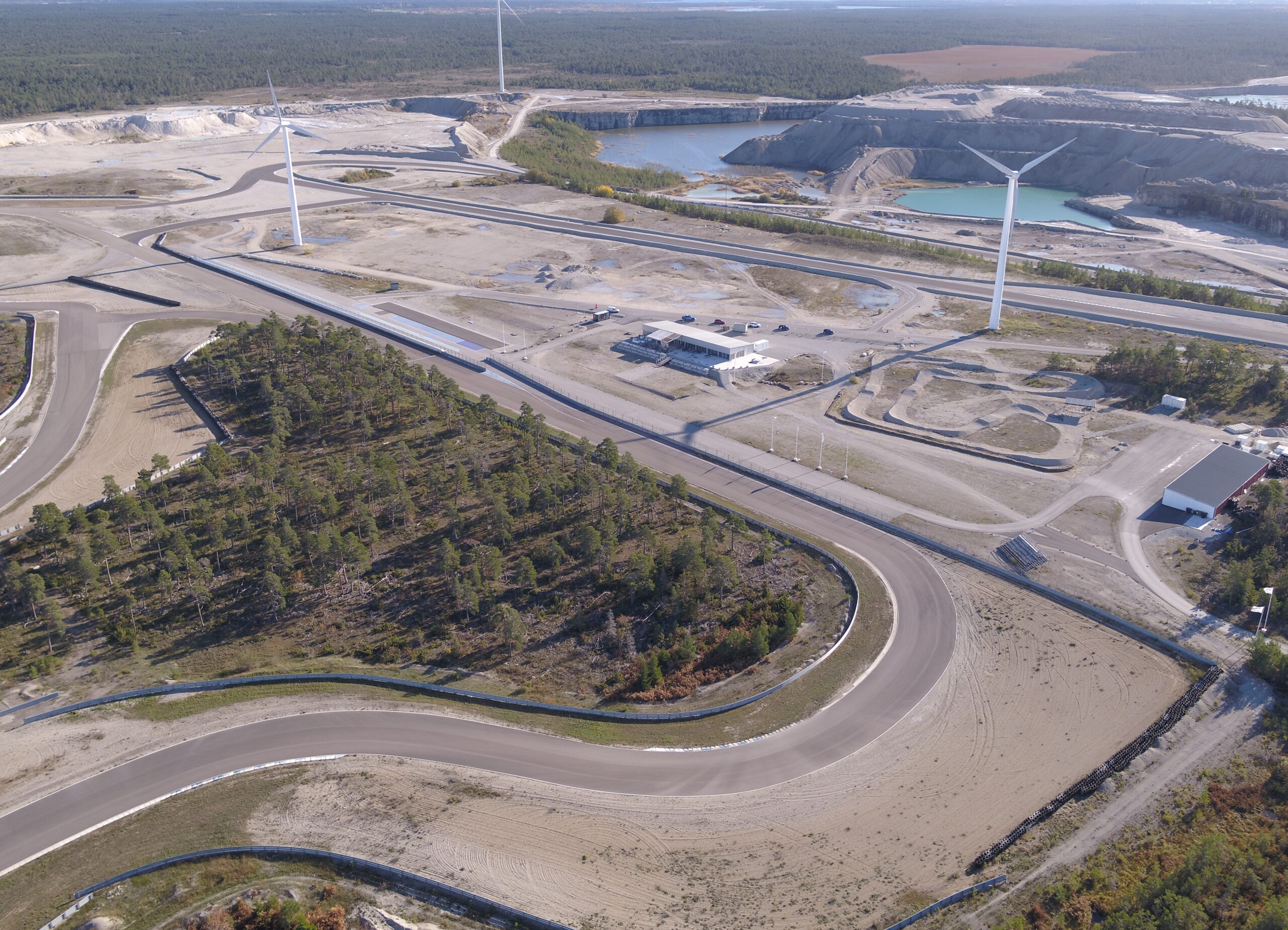
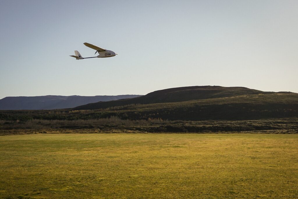
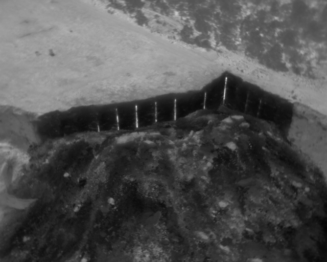
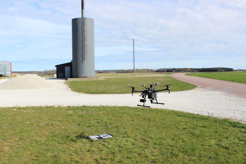
Being able to map vast areas of land with centimeter-level accuracy has become easier than traditional methods and less time-consuming thanks to UAVs. The combination of our expertise in land-based surveying and drone technology enables us to provide high-precision photogrammetry and LiDAR Scanning. We can create detailed 3D models and topographic maps based on your requirements in accuracy and production levels. One of the benefits of drone-based mapping in mining and quarry operations is to safely map unstable terrain or active excavation sites without putting surveyors or site personnel at risk for landslides. This is just one of countless examples of how commercial UAVs became a game-changer in the industry.

How does aerial thermal imaging improve inspection processes?

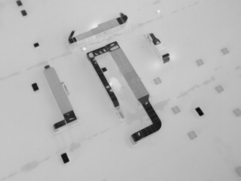
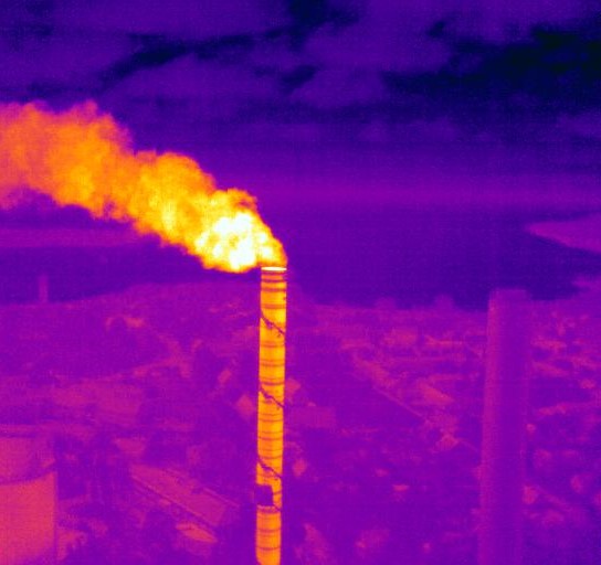
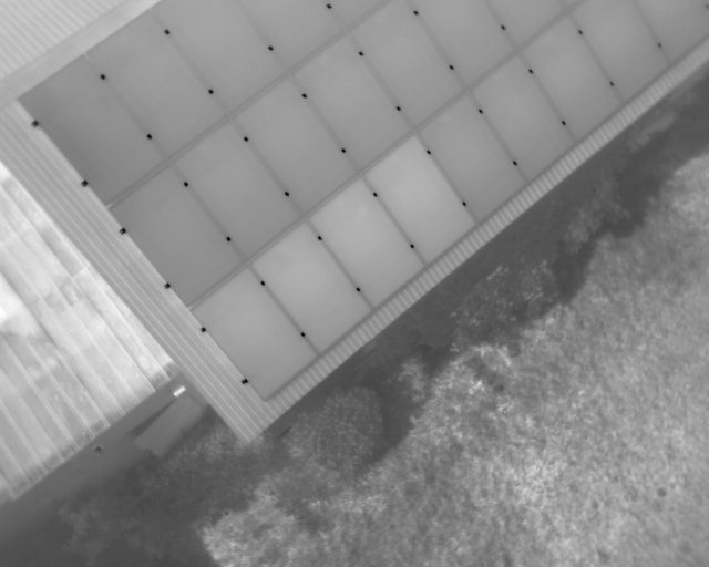
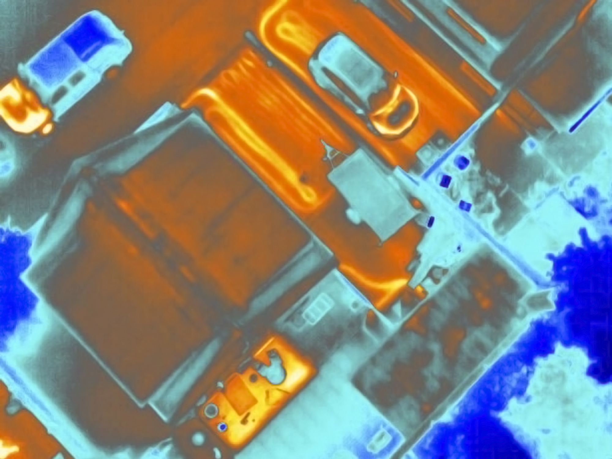
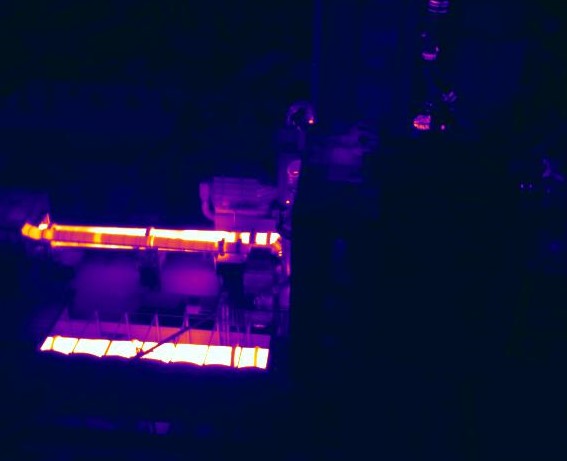
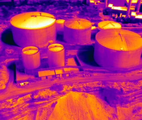
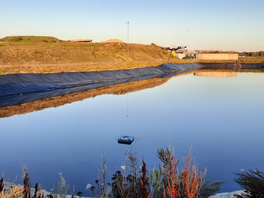
Thermal imaging drones can help detect heat signatures invisible to the naked eye, revealing issues that would otherwise go unnoticed until they become major problems. With our IR and multispectral payloads we can help you spot heat variations and make a thermal profile of your building or component and increase prevention at your facility. Temperature variation analyses contained in thermal maps, videos and pictures are on the other hand useful only in a given context. The applications of thermal imaging drones we offer range from inspection of construction sites, solar farms, power lines and wind turbines to environmental monitoring at wastewater treatment sites, landfills and biogas plants.

Equipment and technology at our disposal

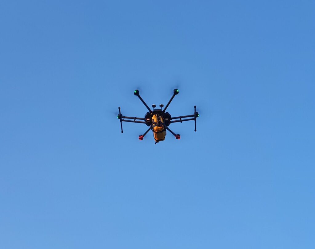
Our fleet includes a diverse range of drones, each specially selected for specific tasks and environments. Here's a glimpse into our toolbox:


Drone type

Key features

Primary applications

DJI Mavic Air

Compact design, Max Takeoff Weight 430g, DJI Goggles compatible

Aerial photography, reconnaissance

DJI Inspire 1

Multiple payload configuration, Integration with photogrammetry softwares, unobstructed filming

Inspection, surveying and mapping, search and rescue

DJI Matrice 210 v2 RTK

High-precision RTK, multiple payload configuration, IP43 rating 

Inspection, surveying and mapping, construction, search and rescue, agriculture

DJI Matrice 350 RTK

High-precision RTK, multiple payload configuration, IP55 rating, C5-compliant

Inspection, surveying and mapping, construction, search and rescue, environmental monitoring

DJI Matrice 600 Pro

Modular design, carry up to 6 kg payloads, multiple payload configuration, high-stability and redundancy

Inspection, surveying and mapping, photography and filmmaking, environmental monitoring, search and rescue

DJI Mavic 3E Advanced

Built-in RTK module, low-light performance, fast-charging, high-accuracy results for GIS workflows

Inspection, surveying and mapping, construction, search and rescue, agriculture

How do we stay up-to-date with the latest drone innovations?

We've made it our mission to stay updated with drone innovations. We're enthusiasts and early adopters, always eager to explore how the latest advancements can benefit our clients.

That is why over the years we've cultivated relationships with leading drone and payload manufacturers and software developers, giving us early access to beta versions of new technologies that are compliant with the latest EU regulations. This allows us to thoroughly test and integrate new capabilities into our services before they become widely available. Moreover, we invest in ongoing training for our team, ensuring that our pilots and technicians are always up-to-date with the latest cross-sectorial operational techniques and safety protocols. That means our surveyor teams are flexible and capable of adhering to different industry practices and standards.

Cost-saving drone services

In the fast-paced world of drone technology, standing still means falling behind. That's why at ReSource, we've made it our mission to stay at the cutting edge of drone innovations. We're not just users of technology; we're enthusiasts and early adopters, always eager to explore how the latest advancements can benefit our clients.

Our commitment to innovation goes beyond just purchasing the latest gadgets. We've cultivated relationships with leading drone manufacturers and software developers, giving us early access to beta versions of new technologies. This allows us to thoroughly test and integrate new capabilities into our services before they become widely available. Moreover, we invest heavily in ongoing training for our team, ensuring that our pilots and technicians are always up-to-date with the latest operational techniques and safety protocols.

What are the cost-effectiveness benefits of using drones?

Drone services may involve a significant initial investment, but the ROI often becomes evident quickly, varying by industry and the value of collected data. In sectors like construction, waste, and mining, tasks like surveying a 100-hectare site or monitoring landfill gas emissions traditionally with FID detectors take days and cost tens of thousands. Drone technology accomplishes these tasks in hours, at a fraction of the cost. Faster data collection not only reduces survey expenses but accelerates project timelines, saving weeks. Additionally, drones enhance safety, reduce labor costs, and improve accuracy, delivering substantial cost savings overall.

Ready to make your project fly high?

You've read about the potential of drone technology. You've heard about the efficiency, the cost savings, and the innovative insights it can bring to your business. Consult us to know more about how drone-based services can add value to your organization.

Approved by
Alessandro Sarno

Alessandro Sarno runs ReSource Sverige AB as CEO and Co-founder. The company provides environmental monitoring solutions and consultancy within energy and waste management sectors. With a background from Lund University, he spearheads the application of innovative technologies like digital data platforms and drone-based methane monitoring. His versatile approach and commitment to transparency drive the company's expansion of data-driven environmental services across Sweden and Europe.

location linkedin facebook pinterest youtube rss twitter instagram facebook-blank rss-blank linkedin-blank pinterest youtube twitter instagram