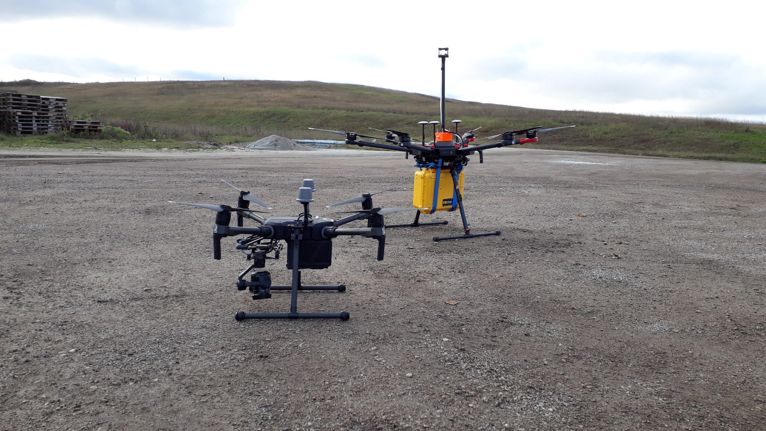
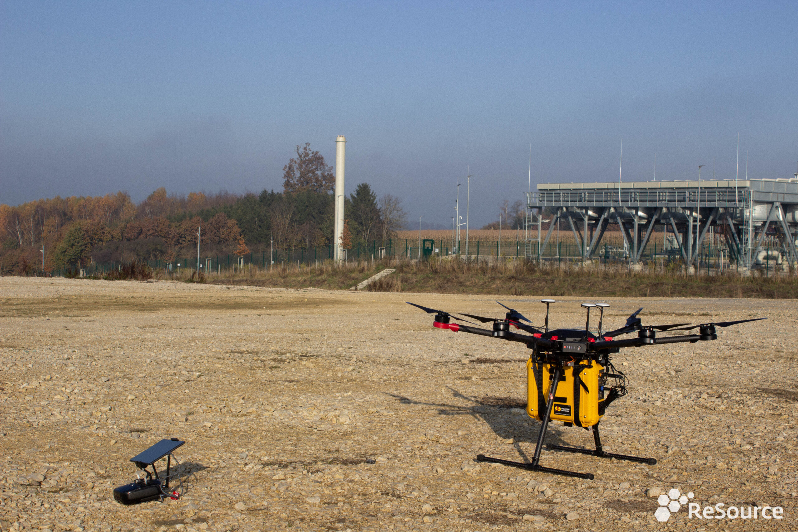
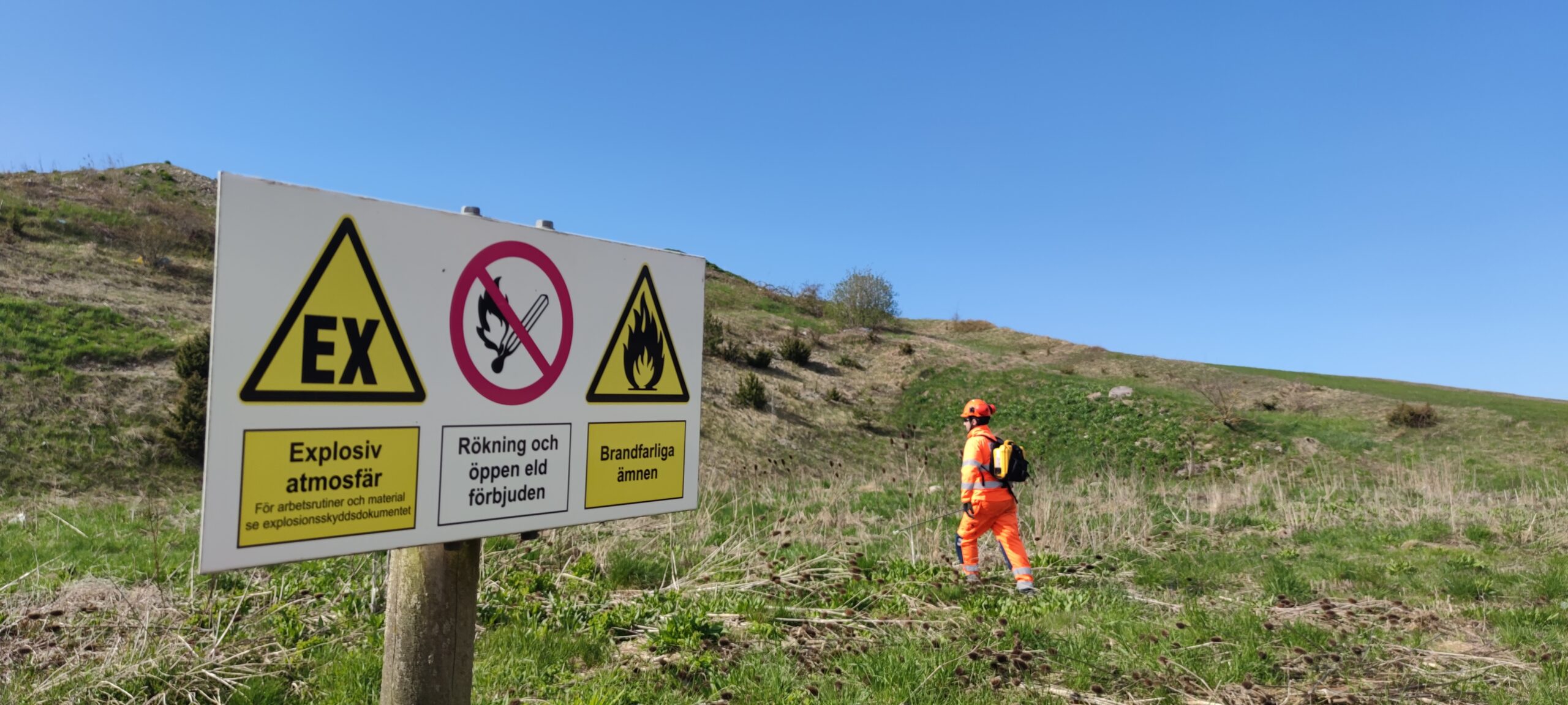
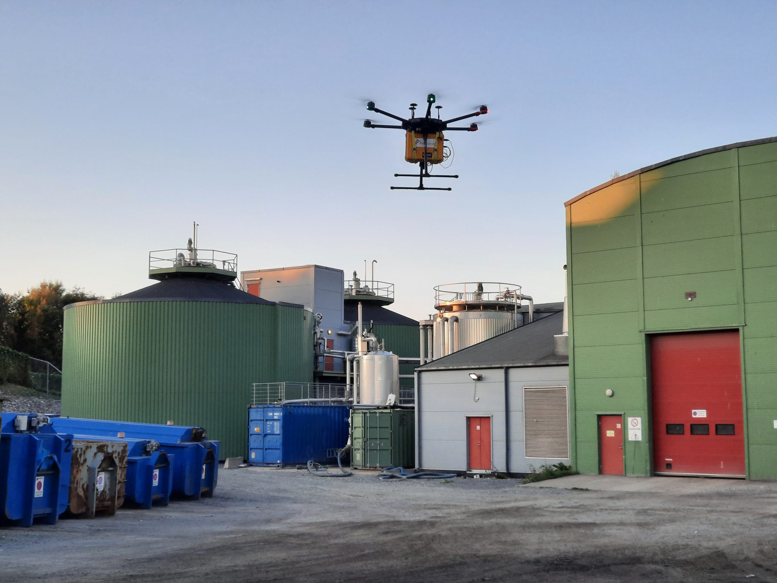
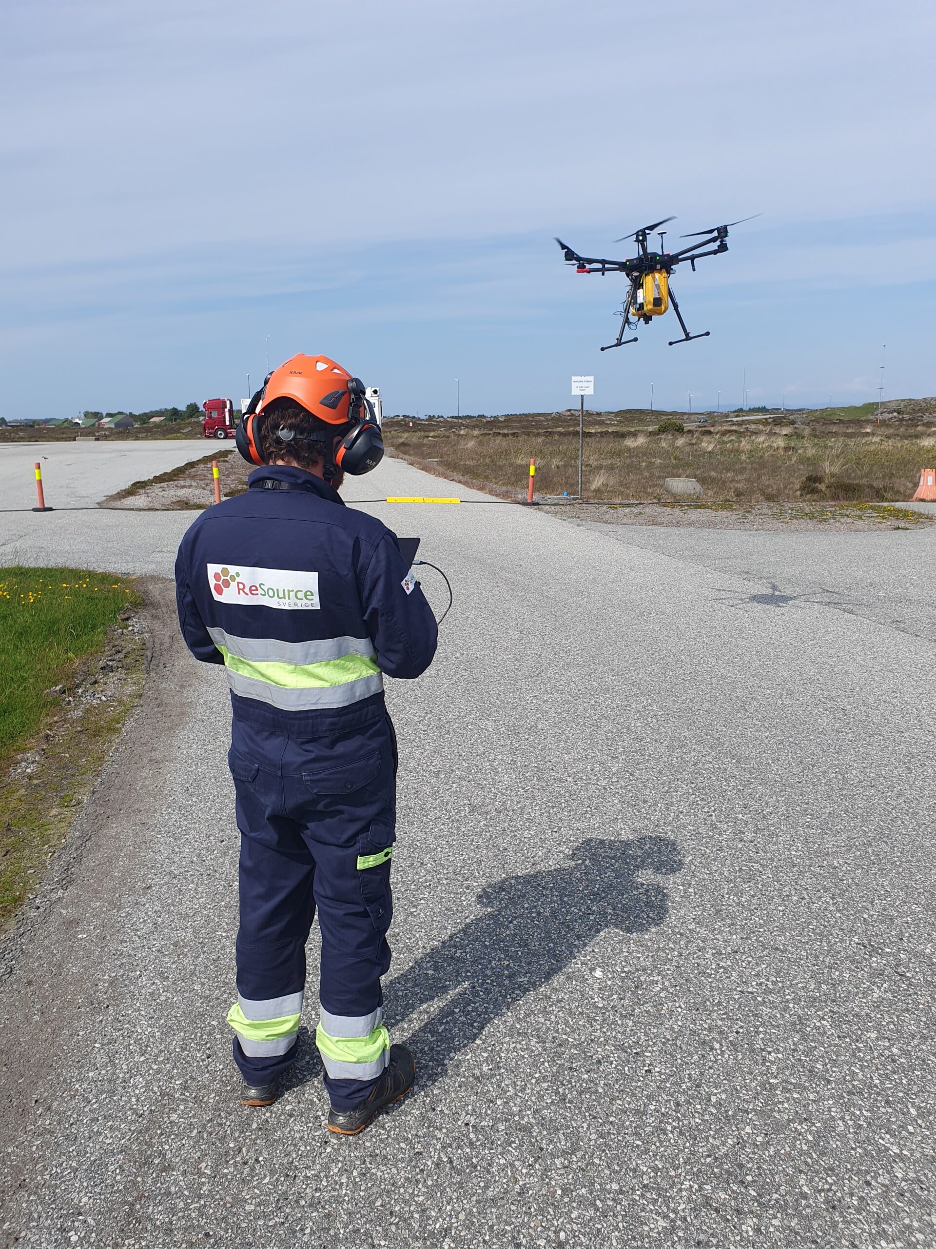
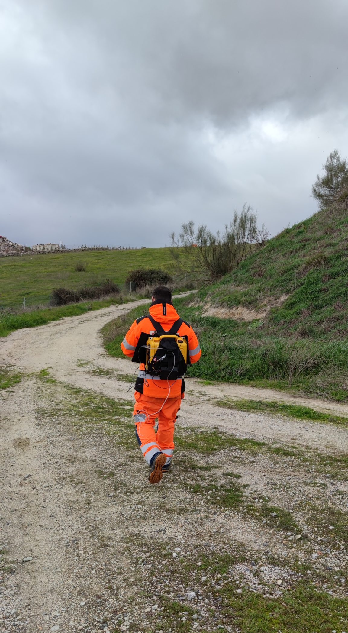
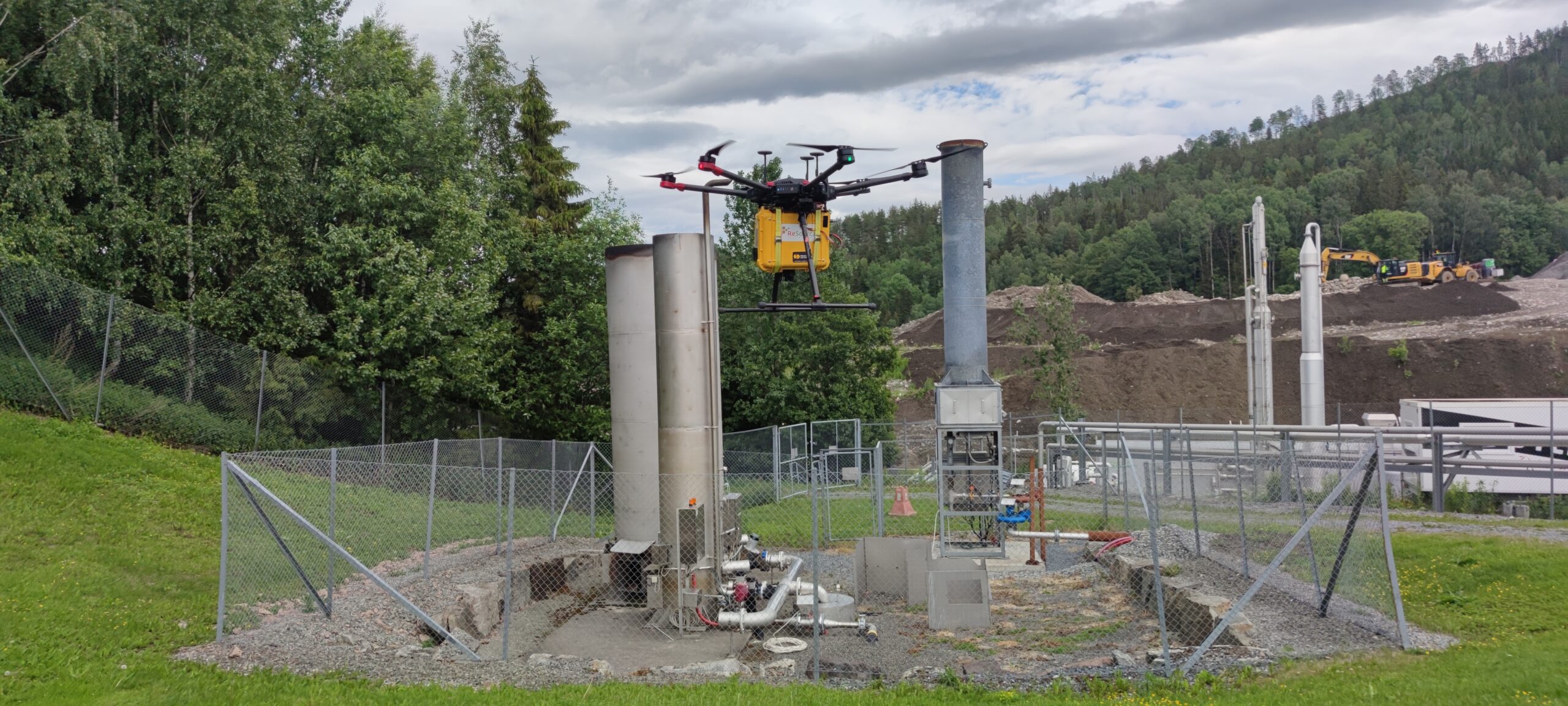
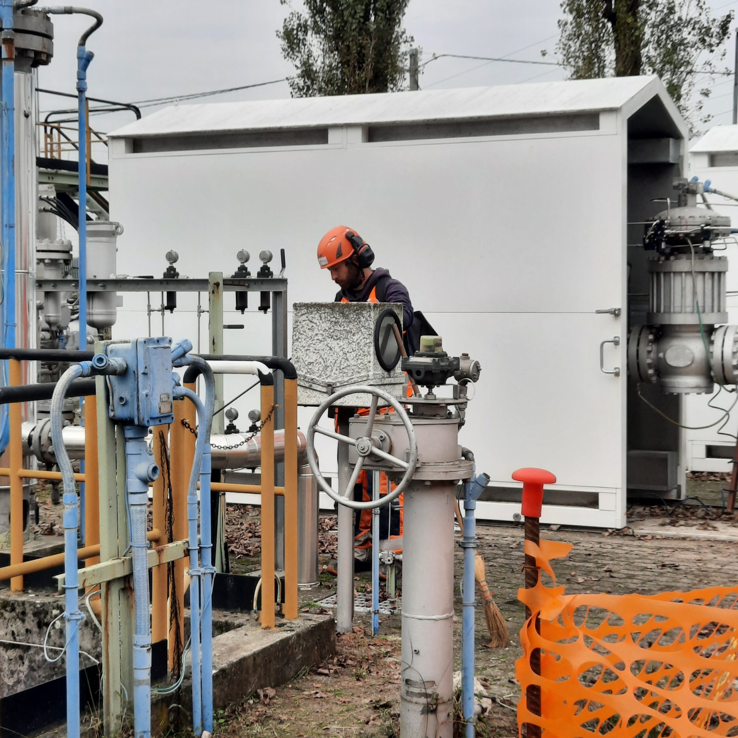
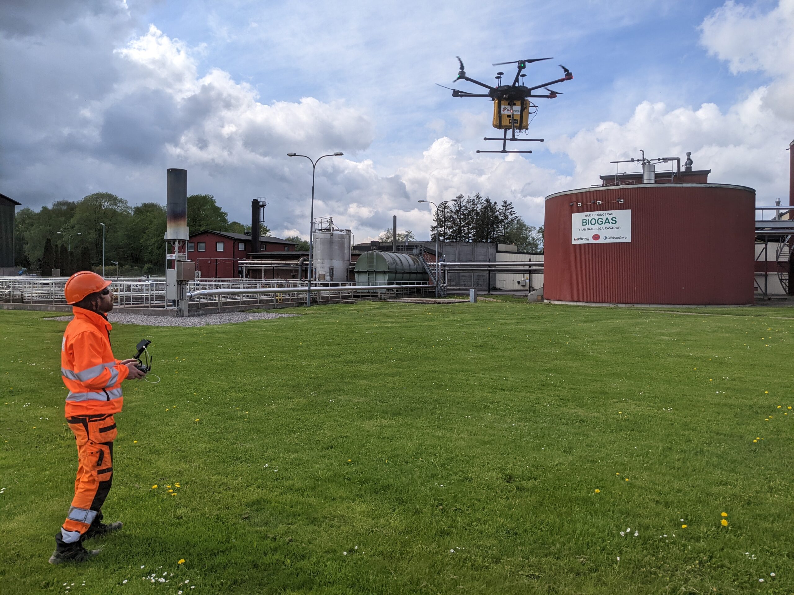
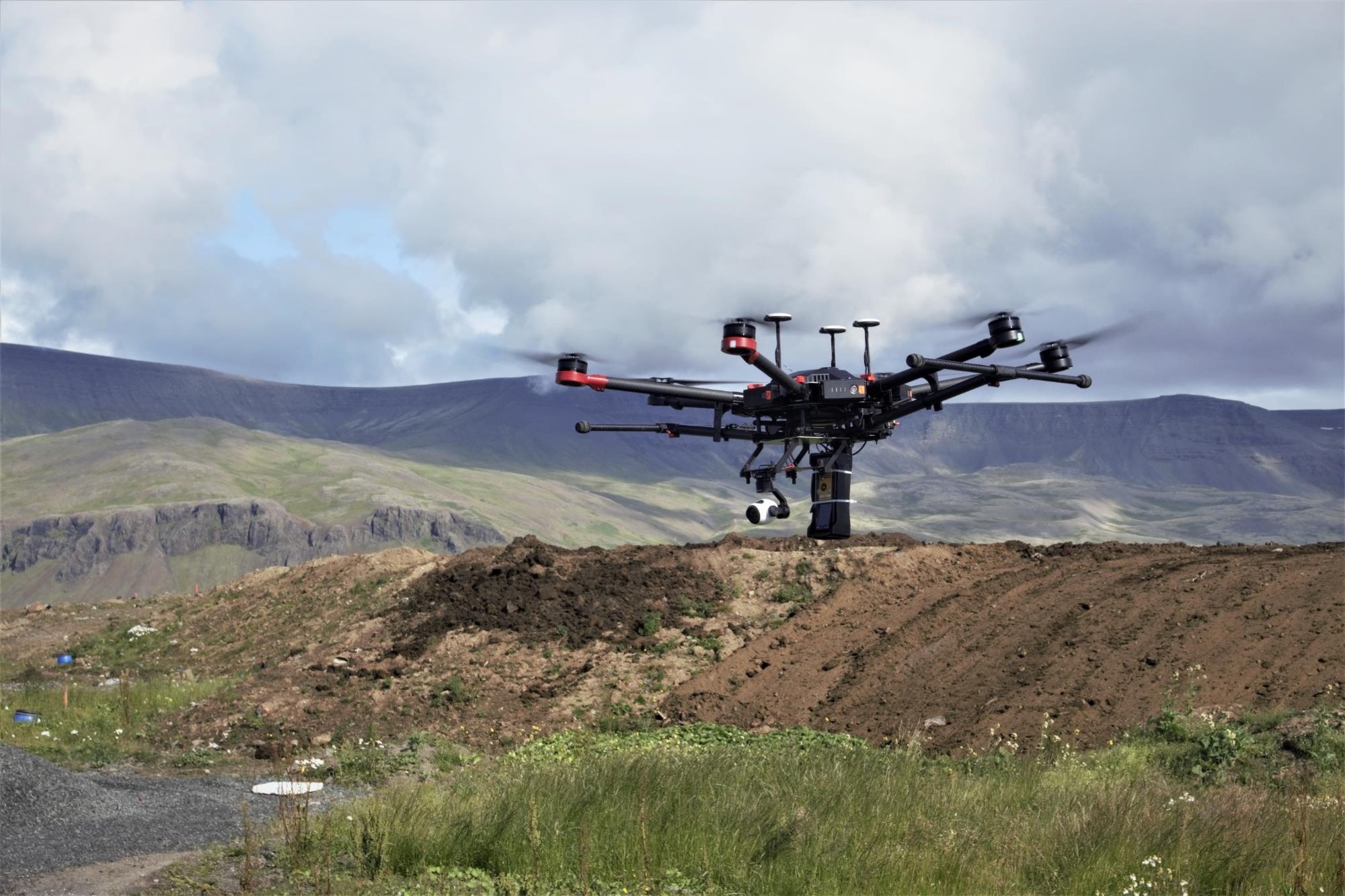
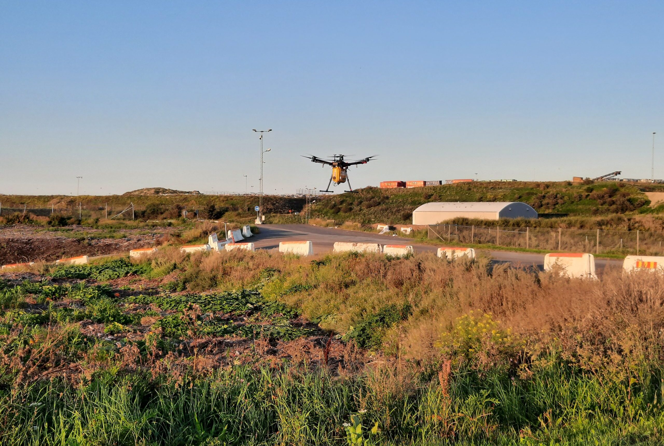
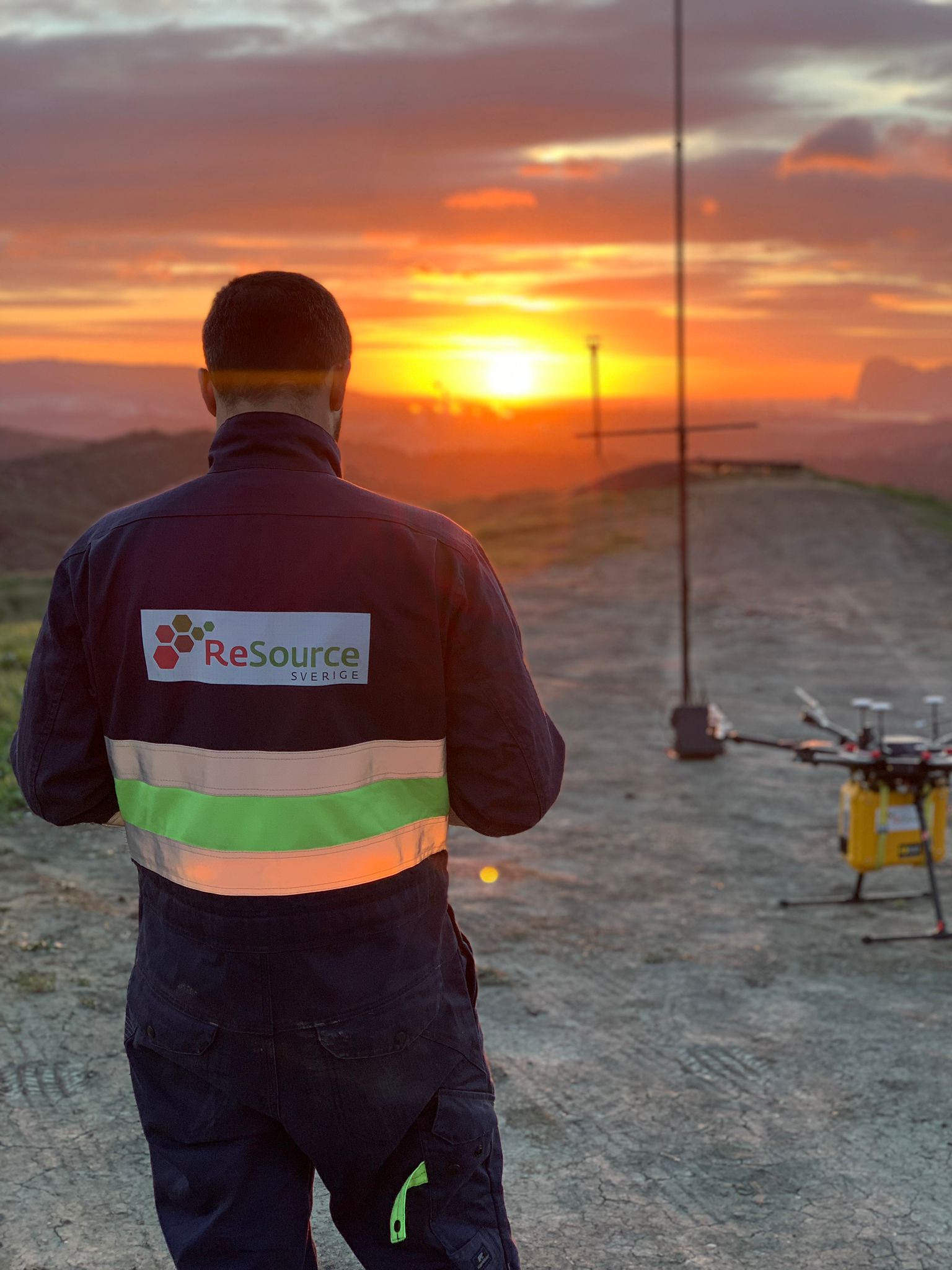
ReSource has developed an innovative top-down measurement approach to measure and map gaseous emissions, applicable in industries like oil and gas, biogas, and waste management. By flying downwind from potential emission sources, a drone can capture cross-sections of gas plumes, which are then analyzed using proprietary software. By combining this data with on-site wind and weather measurements, we can provide accurate estimates of total emissions with their associated uncertainty. The methodology is applicable with methane, carbon dioxide and nitrous oxide.
Why is it crucial to have reliable direct measurements of greenhouse gases?
Measuring site-level emissions escaping or venting from a facility provides a direct measurement on the volume of potentially lost viable product from a production plant. Simultaneously, it delivers clear evidence of the emitted carbon dioxide equivalent, enabling data-based (not factor-based estimates) calculations of Global Warming Potential (GWP) for any specific site or component.
This information is essential for accurate climate impact assessment and transparent carbon reporting in line with current global and European regulatory frameworks in the energy, mining and agricultural sectors.

